Avon River corridor all our now
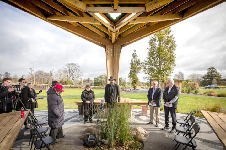
In August, Christchurch City Council formally (pictured below) took ownership of the final area of residential red-zone land, ending the Crown’s post-earthquake responsibilities following the Canterbury earthquakes.
M ayor Phil Mauger says the council having full ownership of the zones is a significant milestone.
“The ownership of the Brooklands, Southshore, South New Brighton and Port Hills regeneration areas transferred to the council from 2020. However, the sheer size and complexities of the 5500 property titles in the Ōtākaro Avon River Corridor meant that Toitū Te Whenua Land Information New Zealand had to reconfigure the land in tranches that it progressively handed across to us,” says Mayor Mauger.
“It’s an exciting day for Christchurch to have complete ownership of the Ōtākaro Avon River Corridor. We took over the management of this 602-hectare open space in 2020, and since then, and in collaboration with the communities and stakeholders, we’ve started to bring the vision and objectives of the Regeneration Plan to life.”
A swathe of planting days over the past two seasons have seen council rangers, community groups and volunteers plant tens of thousands of natives across the Ōtākaro Avon River Corridor (OARC).
Grants from the Christchurch Earthquake Appeals Trust have also seen the Dallington Landing and three pedestrian bridges completed.
“The bridges at Medway Street, Snell Place and Avondale enhance community connections across the river and put in place the infrastructure for the City to Sea Pathway,” says Mayor Mauger.
Work on the 11km City to Sea Pathway from Barbadoes St to New Brighton will begin this summer.
The upper and lower terraces of Avon Park will also begin a significant transformation in the coming months, and Council staff continue to progress plans for a new flatwater sports hub and riverside landing at Kerrs Reach.
For more information on the OARC visit ccc.govt.nz/oarc


